Hec-Ras options
Hec-Ras is an excellent commonly-used public domain backwater computation program written by the US Army Corps of Engineers. Hec-Ras requires considerably more data input than PC-Convey.
You can quickly and easily combine your PC-Convey data files in a form which can be imported into the Hec-Ras program. This enables you to use PC-Convey's powerful editing features to quickly design a suitable cross-section and then use Hec-Ras to examine the effects of adding a bridge, culvert, weir or encroachment. PC-Convey can also be used to calculate the starting water surface level for Hec-Ras runs. It is also sometimes useful to compare the results obtained from 2 different programs.
There are two methods by which HEC-RAS models can be created from PC-Convey cross-sections. In method 1 each PC-Convey cross-section represents an entire reach of the waterway, with a number of
identical cross-sections being appended each time. This could be used to create a Constructed Waterway model. Method 2 involves adding a single cross-section at a time to create the waterway model.
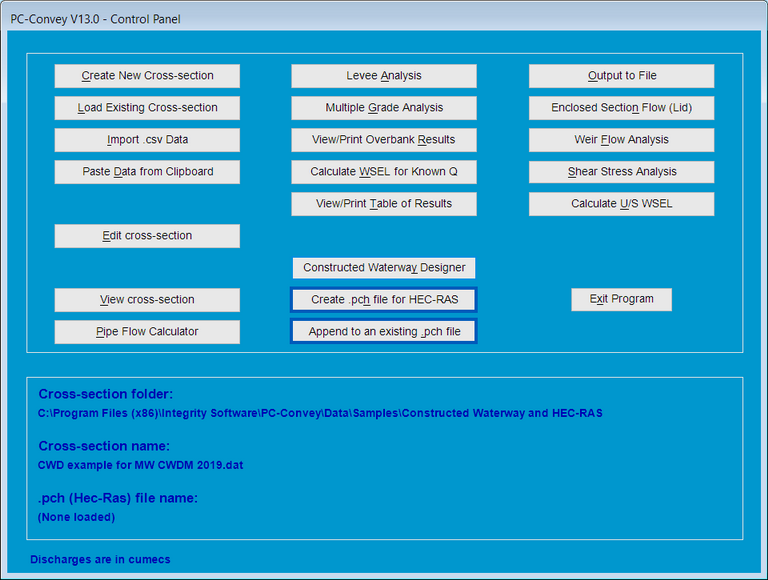
From V13.0 this process has been streamlined even further and new buttons have been added to the Control Panel (as well the options being retained in the File drop-down menu):

- PC-Convey assigns actual chainages
to the cross-sections within the HEC-RAS model rather than just recording them
as cross-sections 1, 2, 3 etc. By default, the first cross-section will be
given a chainage of 0, however a different chainage can be assigned by
including "StartingCH" in the PC-Convey data file name
followed immediately (i.e. no intervening characters) by numeric characters, for example "Project name StartingCH34.76 cross-section
001.dat".
Chainages of subsequent cross-sections are calculated using the starting chainage, the Main Channel distance and the number of cross-sections appended.
- for cross-sections on a bend,
PC-Convey calculates the inside and outside overbank distances from the Main
Channel distance and the bend radius.
- the discharge can be varied along the HEC-RAS model by entering the required discharge when the PC-Convey cross-section is created.
- the discharge information and cross-section grade in the PC-Convey data file are used without the User being prompted for these values.
This concludes the guided tour of PC-Convey.


